NAIS Interviews EPJSLP GIS Specialist Brian Mutasha on the Role of Drone Technology
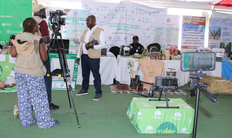
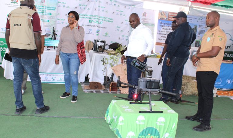
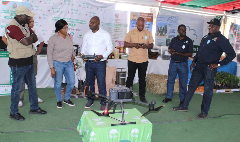
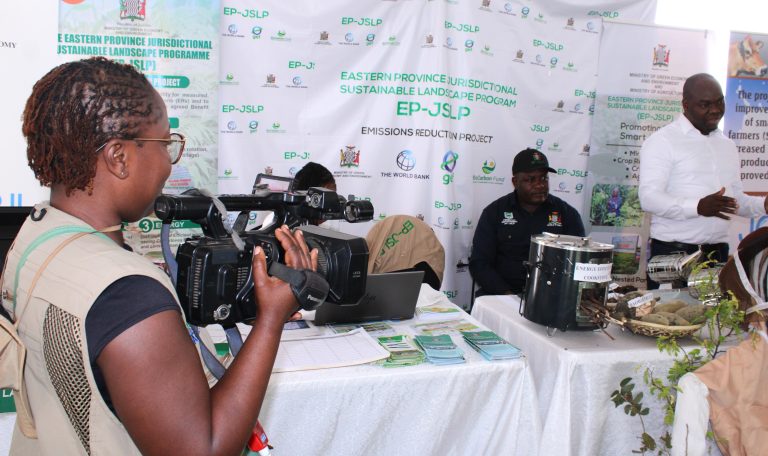
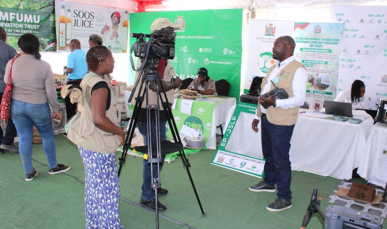
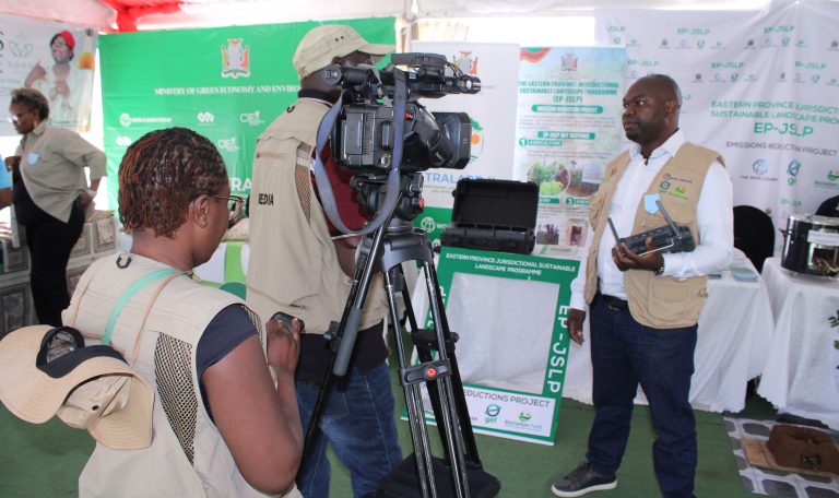
The National Agricultural Information Services (NAIS) team interviewed EPJSLP Remote Sensing/GIS Specialist Brian Mutasha at the Trade Fair, where he explained how drone technology is transforming Monitoring, Reporting and Verification (MRV).
Brian highlighted how drones equipped with LiDAR technology capture high-density point cloud data, enabling accurate estimation of biomass and carbon stocks while monitoring land use and land use change across the landscape.
The technology provides reliable, high-resolution data that supports sustainable forest management, climate change mitigation, and evidence-based decision-making for natural resource management.
#EPJSLP #NAIS #TradeFair #DroneTechnology #LiDAR #RemoteSensing #GIS #MRV #ClimateAction #CarbonMonitoring #LandUseChange #EnvironmentalMonitoring #SustainableDevelopm
 ent
ent